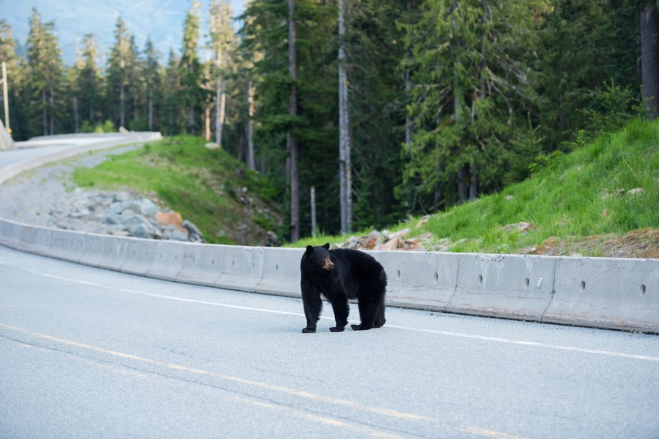
Critical wildlife connectivity pathways are being undermined as the Sea to Sky develops to keep pace with a growing population, .
“There’s been significant loss which coincides with where a lot of the rapid development has been happening in the ΏΘΡΧ…γ«χarea and also in similar cities in the north of the Sea to Sky region,” said the ΏΘΡΧ…γ«χEnvironment Society’s (SES) Katherine Andy.
“This has major implications on ecosystem health as a whole and resilience of the ecosystem. Not only that, but it is also impacting the ability for wildlife to navigate the landscape as they find suitable habitat.”
The research project emphasizes the role of ecological connectivity in conservation, which refers to species’ ability to move from one key habitat to another.
“These networks comprise a patchwork of habitat core areas and smaller stepping stone patches linked by wildlife corridors that allow species to move freely across the landscape,” according to the report. “They safeguard access to food and shelter and increase the capabilities of wildlife to find mates, maintain healthy populations and seek protection from various environmental threats.”
Protected areas represent 33 per cent of the total area of habitats in the broader Sea to Sky region; however, those areas are mostly undisturbed and at higher elevations, so they don’t always help protect pathways of connectivity that boost biodiversity and guarantee long-term ecosystem resilience—particularly in the face of human landscape disturbance and climate change.
“The extent and pace of change caused by human activity and natural hazard processes in these areas threaten the health, connectivity and longer-term resilience of terrestrial ecosystems at both local and regional scales,” per the report.
Towards an interactive tool for policymakers
The SES is looking to build an interactive tool the SLRD can use to inform conservation efforts under its regional growth strategy. It also hopes the work will provide the basis for a new wildlife connectivity action plan and support conservation policies around the Átl'αΗΒa7tsem / Howe Sound UNESCO Biosphere Region and surrounding areas of the Sea to Sky corridor.
To those ends, the society is taking a different approach to modelling. A traditional model would map out connectivity networks for each species within a community, take all the habitat patches and movement pathways that matter to each species in a community, and put them together into one map.
The issue with that approach, Andy explained, is policymakers have to balance conservation goals with their development goals. As a result, it’s often “difficult to prioritize which habitat patches and movement pathways should be of highest concert or highest impact.”
“So, the question became how to map a connectivity network that maximizes meeting the ecological needs of wildlife and is also interpretable and actionable for partners,” said Andy.
The team collected data on 18 focal—meaning a species that acts as an indicator for a particular ecosystem or area—mammalian and herptile (referring to reptiles and amphibian) species, and produced a map with a grading system (shown above).
The green parts of the map show core habitat patches that are of the highest value to those 18 focal species. They are also connected by movement pathways or corridors expressed in priority based on how often those pathways are used. The darkest blue sections of the map show the highest connectivity potential, representing the most important areas for conservation.
“So it’s not showing every single habitat patch and corridor that matters to all of the 18 focal species in this community, but rather it's showing the highest-value habitat patches and movement pathways so that we as land managers can begin to take action and know where to begin,” said Andy.
“And so we hope that this becomes a tool that [the SLRD] can use to mitigate some of the challenges that we’re facing with ongoing development in the valleys, maybe to expand upon protected areas and to facilitate movement of wildlife and resources across this landscape so we can improve the overall health and resilience.”
The briefing report was well received by the SLRD. In response to a question from ΏΘΡΧ…γ«χdirector Chris Pettingill, Andy explained the 18 species were chosen due to the expressed priorities of partner organizations—including multiple levels of government, other conservation groups and research outfits—and the concerns shared by interviews with locals. She added those 18 species were also the animals most likely to have complete, readily available data.
“We need enough empirical data to create those maps to complete Stage 1 of that model,” she told the board. “So in the future, if there’s the potential for it with adequate data, we’re not aiming to exclude any species.”
As The ΏΘΡΧ…γ«χ previously reported, the SES’ work on the project relies on citizen scientists submitting wildlife information through the iNaturalist app or website.
The SLRD moved to award $40,000 to the SES to pay for the final year of its wildlife connectivity project.


